One of the most important stages in any civil engineering project is surveying the land. Surveyors work day in and day out collecting vital information about a project site for engineers to use in the design phase. Therefore, it is of utmost importance that the data they collect is accurate and precise.
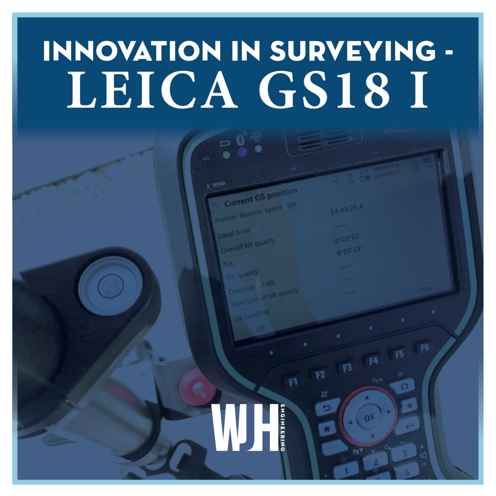
Here at WJH Engineering, we are constantly re-investing in our survey equipment, bringing in the latest technology to ensure that our surveyors are able to collect information quicker and with a higher degree of accuracy than any of our competition. This month, we purchased the new Leica GS18 I, a significant upgrade from our previous GNSS RTK Rover systems. This equipment is renowned for being the world’s fastest global navigation satellite system (GNSS) rover. This self-calibrating system is immune to any magnetic disturbances, and it is able to read points from a further distance than any previous model. Now our surveyors will be able to capture hundreds of points within a matter of minutes, with no need to physically reach the point.
The GS18 I RTK rover seamlessly integrates Leica’s groundbreaking Captivate software. Through the simplicity of touch, the management of complex data is made exceptionally enjoyable and immersive. And while Captivate captures and models data in the field, Leica’s Infinity software processes the information back at the office in real-time. This smooth data transfer ensures that the project stays on track. Captivate and Infinity work in conjunction to join previous survey data and edit projects faster and more efficiently.
The GS18I also includes a touchscreen interface. With this tablet model, our surveyors are able to take their entire office on the go. Having such a small device will help them overcome any environmental obstacle they encounter in the field with complete convenience and mobility.
All things considered, investing in the Leica GS18 I RTK Rover System will truly prove to be a game-changer for WJH Engineering. Contact us today for your next survey!

