The Global Positioning System (GPS) is one of the most important technological advancements of the modern era. Whether you’re using it to navigate through traffic on your smartphone, or relying on it for precise land surveys, GPS technology plays a central role in our daily lives. But how exactly does it work, and how do engineers and surveyors apply it in their everyday work?
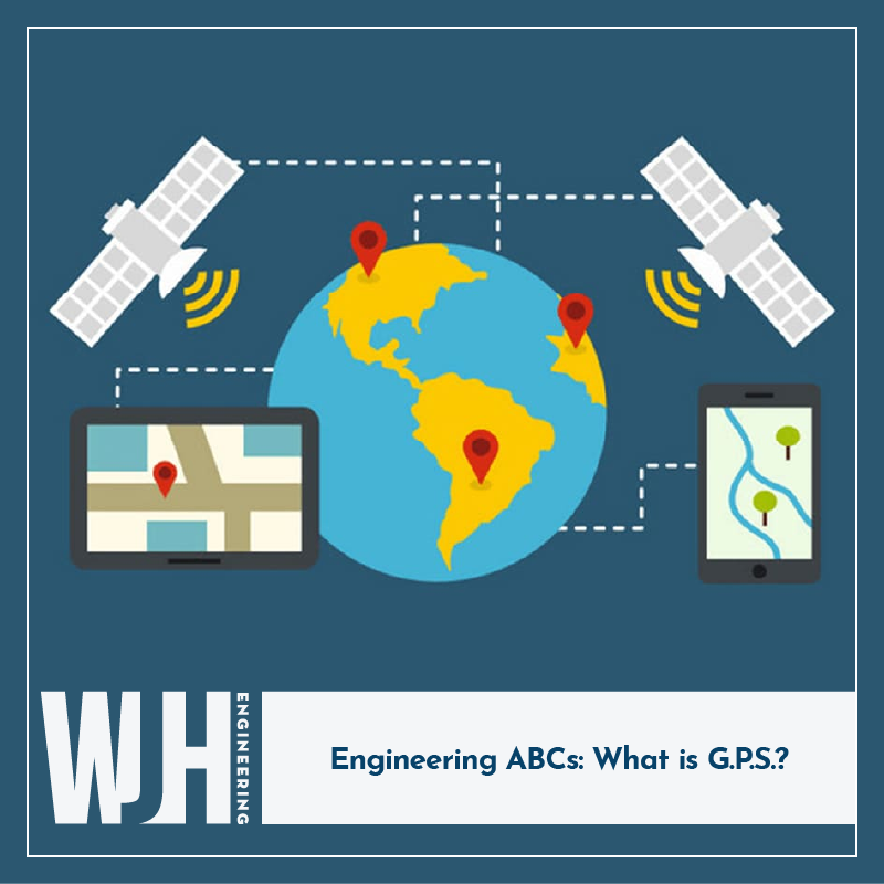
GPS is a system composed of 31 satellites orbiting the planet, which continuously send signals to GPS receivers on the ground. By triangulating signals from these satellites, a GPS receiver can calculate the exact position of an object in terms of latitude, longitude, and altitude.
Civil Engineers and Surveyors use GPS technology every day to improve accuracy, increase efficiency, and streamline operations. Here are some key ways we apply it:
- Land Surveying and Mapping: Surveyors rely on GPS to prepare topographic maps with pinpoint accuracy.
- Construction and Infrastructure Projects: In the construction industry, GPS is used to guide heavy machinery like bulldozers, excavators, and cranes to precise locations on the site.
- Geotechnical and Environmental Monitoring: GPS is used to monitor land movement, including subsidence or shifts in soil, which is important in geotechnical engineering.
GPS has become an indispensable tool for engineers, surveyors, and professionals across many industries. Its ability to provide accurate, real-time location data enhances efficiency, precision, and safety in countless applications. As technology continues to evolve, GPS will remain a critical tool, driving innovation and helping engineers solve complex challenges in a rapidly changing world.

